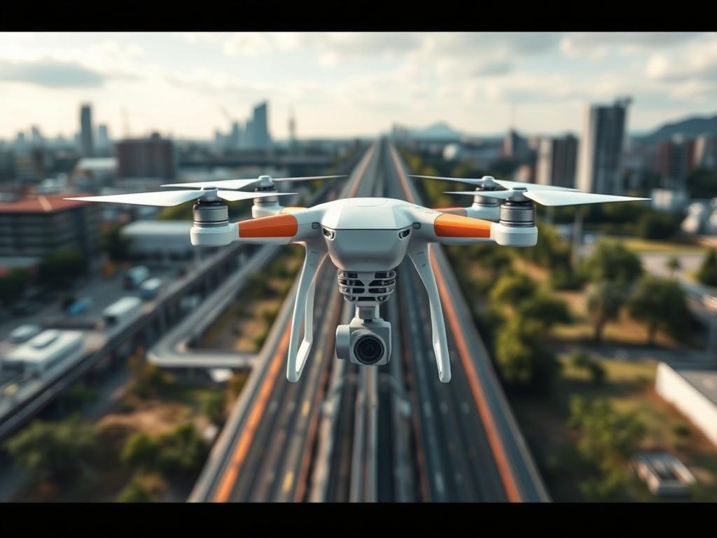
FLYTE leverages drone technology to provide data-driven visual solutions that enhance analysis across various industries. Our services include 3D modeling, surveying, and infrastructure inspections, delivering actionable insights that drive efficiency and effectiveness. By utilizing drones, we can access hard-to-reach areas and gather comprehensive data quickly and accurately. This empowers businesses to make informed decisions, streamline operations, and improve safety standards. Whether you’re conducting environmental assessments or monitoring infrastructure, FLYTE equips you with the tools you need to achieve your goals with confidence and precision.